Markleeville
Independence Day Sierra Ride - Highway 88, Markleeville, Ebbets Pass to Angels Camp
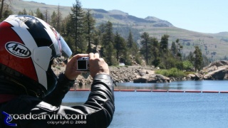
July 5th 2008 was a beautiful early summer day, and a fine time to take a ride up Highway 88, through Markleeville, over Ebbets pass, and down to Bear Valley and beyond.
The weather was perfect if a bit on the warm side as we prepared for departure. Temperature was about 90 degrees Fahrenheit in Pine Grove at about 9:30 AM, and it cooled rapidly as we gained altitude. Smoke from the recent California fires lingered at 2,400 feet elevation. Barely 40 minutes later, we were in cool and mostly clean air, almost completely devoid of the smoke that plagued the lower elevations over the last few weeks. Some haze remained but it didn't seem much worse than on other visits over the years.
Independence Day Ride - Wolf Creek Restaurant & Bar

We stopped in Markleeville for lunch at the Wolf Creek Restaurant and Bar. The food and service was fast and satisfying,
Sharing this photo on your web page?
Please copy and paste the following HTML snippet in order to ensure success:
Please copy and paste the following HTML snippet in order to ensure success:
For more information, see our image linking guide.
Carson River outside Markleeville on Hwy 4

Leaving Markleeville, on Highway 4 west. This was taken in October; the fall foliage is simply stunning.
Sharing this photo on your web page?
Please copy and paste the following HTML snippet in order to ensure success:
Please copy and paste the following HTML snippet in order to ensure success:
For more information, see our image linking guide.